Greeneville Mapping & GIS
The goal of the Greeneville Mapping & GIS division is to provide location-based information and mapping to enable informed decision-making. On this page you can explore interactive and static maps to help discover information about the community, property, and even history of the Town of Greeneville.
A geographic information system (GIS) is a system that creates, manages, analyzes, and maps all types of data. GIS connects data to a map, integrating location data (where things are) with all types of descriptive information (what things are like there). This provides a foundation for mapping and analysis that is used in science and almost every industry. GIS helps users understand patterns, relationships, and geographic context.
Map Gallery
The user understands that the Town of Greeneville makes no representations as to the accuracy of the information in the data, but rather, provide said information as is. The user knowingly waives any and all claims for damages against the Town of Greeneville that may arise from the property data. This is not a legal document!
Users may print and electronically reproduce these maps, understanding that the conditions and limitations above apply.
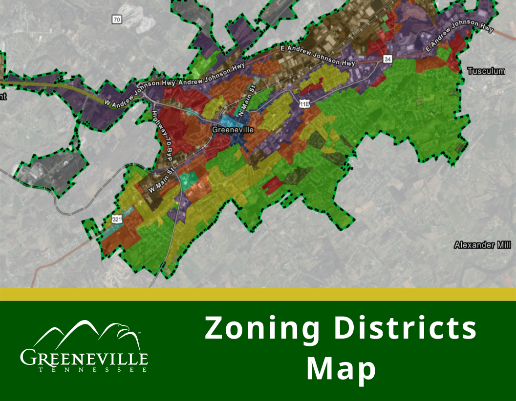
Explore zoning districts in the Town of Greeneville. Search for a property by its address or parcel id number.